


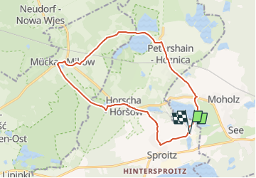

12.7 km | 13.8 km-effort

Tous les sentiers balisés d’Europe GUIDE+


FREE GPS app for hiking
 SityTrail
IGN / Geographical institutes
SityTrail World
The world is yours!
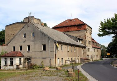
Trail On foot of 14.2 km to be discovered at Saxony, Görlitz, Quitzdorf am See - Kwětanecy. This trail is proposed by SityTrail - itinéraires balisés pédestres.
in Horscha sehr schlecht ausgeschildert
Symbol: Gelber Punkt auf weißem Grund


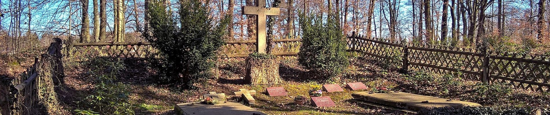
On foot
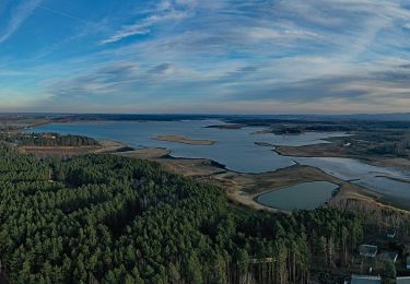
On foot
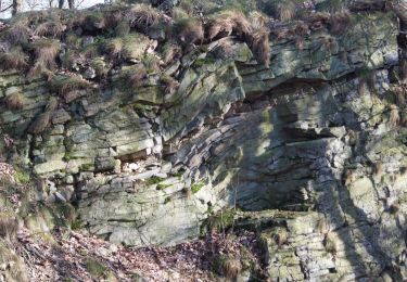
On foot
On foot